The native Carib Indians called the island “Camerhogue” and it was discovered by Christopher Columbus in 1498 and named Conception Island, later changed to Grenada. It was first settled by the French around 1650 who called the island La Grenade. The French established a colony on the island to export sugar and created the town of Fort Royal (later re-named St Georges).
The island was ceded to the British in 1763 under the Treaty of Paris and in 1877 Grenada became a British Crown Colony. Independence was granted in 1974. In 1983 there was a communist led coup against the government which resulted the US invading the islands along with support from five other Caribbean nations. However, many heavy weight countries and the United Nations General Assembly condemned the illegal invasion by the US, stating it was a flagrant violation of international law.
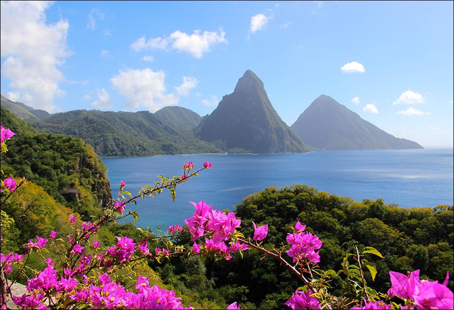
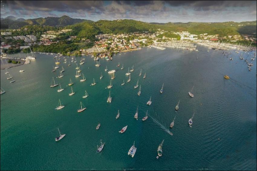
Grenada is known as “The Spice Isle” and a major part of the economy and exports are spices including cinnamon, nutmeg and ginger. Tourism, in common with nearly all of the Caribbean islands, is the main economic activity which has accelerated in recent years with the construction of a new cruise ship pier and esplanade in St Georges. Tourism is concentrated around the St Georges area in the south west of the island and includes one of the finest beaches in the world, Grand Anse Beach. The tourist area incorporates Lance Aux Epines, Point Salines and Grand Anse.
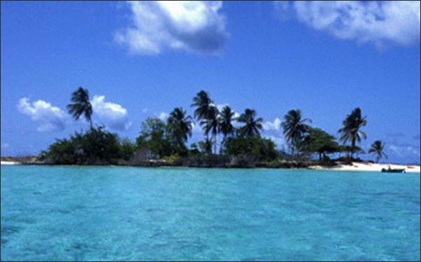
The Younger Island of Grenada
Grenada (pronounced Grenayda by its inhabitants) 17 by 8 miles across and 2749 feet high, stands on the northwestern side of the bank at a quarter of the bank length from its Southwestern end and falls off on that side into deep water. The bank is from three to six miles wide on the other side of the island. The axial range of the island, trending with the bank, is elaborately and, for the most part, maturely dissected and is therefore of Preglacial origin. Its southern end is extended westward by a trailing series of subdued volcanic hills, several miles in length.
The range is of unsymmetrical cross section: the coastal slopes are of moderate declivity on the southeast and of more rapid descent on the northwest; moreover, the gentler southeastern slopes are strongly embayed and moderately cliffed, the more rapid slopes on the northwest are less embayed and much more cliffed. As on the other islands, the embayed valleys are here ascribed to prolonged erosion with respect to normal ocean level and not simply to relatively brief low-level erosion; and their embayment is ascribed to regional subsidence and not only to Postglacial ocean rise, because here as elsewhere the embayed valleys are too widely opened to be explained as the work of lowlevel erosion during the Glacial epochs. None of the many bays that I saw during an automobile excursion around the island appeared to be volcanic craters, although some of them are popularly so explained.
The unsymmetrical form of Grenada seems to be due to its unsymmetrical position on the bank, which, as above noted, is believed to have gained very much of its present extent before this island was built up on it. The southeast side of the island, where its lavas and mud flows found a bank with shoal water on which to spread, appears to have gained moderate slopes like those of Nevis, though perhaps not so very gentle as the basal part of that island. The valleys eroded in these slopes must have had a gentle fall near the shore; and hence, when submergence took place, long embayments were produced there; the cliffs here, still later cut back, are not high because the spurs in which they are cut are relatively low and of gradual declivity.
On the northwest side of the island the lavas and mud flows may have perhaps at first been spread out with moderate slopes on the bank; but, as the island grew in height and area, they must have run over the bank border into deep water, and thereafter their slopes must have been steep, like those of the Soufrières of Montserrat. The valleys here eroded have steep fall; the bays are therefore relatively short and are now largely filled with deltas; the inter-bay spurs have high cliffs because the spurs have steep-pitching crests. The cliffs appear to plunge below sea level but only to a moderate depth; the cliff-base platform is probably buried by a considerable amount of detritus from the high and steep cliff faces.
Most of these cliffed spur ends descend to a fairly even shore line; but one of the spurs, known as Bois Morice, about three miles north of the trail of hills at the southwest end of the island, is cliffed but moderately and stands forth from the rest of the shore line in a long-sloping salient. This appears to result from the former presence here of a peninsular extension of the spur–perhaps formed by a lava flow of late date or of unusually large volume–farther seaward than the rest of the western slope, so that the low-level abrasion of the peninsula occupied so much time that little time was left for cutting back the main body of the spur. The extension of a bank nearly two miles beyond the end of the salient gives some confirmation to this suggestion.