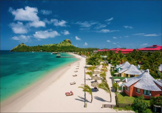
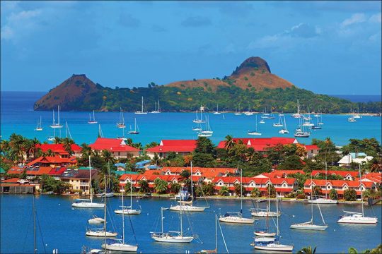
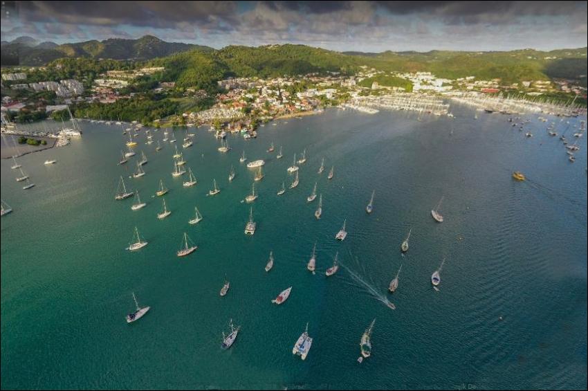
St. Lucia, this beautiful island, on which I spent nine days, measures 23 by 12 miles across and is 3145 feet high. It gives clear indication of a composite origin, as well as of erosion and subsidence while a protecting reef, now vanished, encircled it and walled in the lagoon deposits which at present underlie the circuminsular bank. The bank extends five miles north and south of the island and two or three miles on the east, but to a less distance on the west, with depths of 30 or 40 fathoms at its border.
The older and larger part of the island, composed of lavas, agglomerates, and ash beds, includes the axial, north-south range with its lateral spurs, as well as a number of almost isolated mounts and hills beyond the ends of the range. All of them are eroded into mature or subdued forms showing no trace of the initial surface of the grouped cones. The valleys are broadly opened, except at their heads. The mid-west coastal slope is occupied by younger volcanic forms, in which the somewhat modified initial slopes are trenched only by narrow, canyon-like valleys.
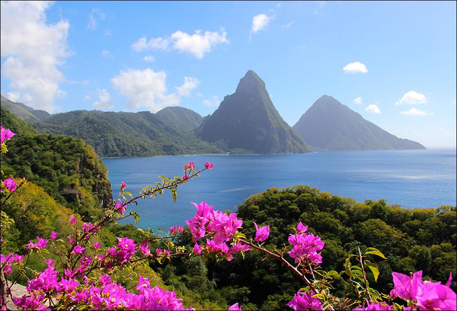
A southwestern sector of the island is aggraded by a gently sloping and slightly dissected mud flow, which issues from an undetermined source in a central valley of the much older axial range, wraps around certain formerly isolated mounts of subdued form, and just before slanting below sea level at its farthest extremity reaches the southernmost mount of the group, which it transforms from an island into a peninsula. In addition to these easily understood forms, which, by their manifestly unlike stages of erosion, show three different dates of eruption, two huge and precipitous Pitons, rise on the west coast just north of the gently sloping mud flow. Their origin is not explained.
The mature valleys of the larger streams on the oldest part of the island are entered by delta-headed bays, indicative of a submergence measuring several hundred feet at least; these well opened valleys are so mature that it does not seem possible for them to have been excavated by low-level erosion in the Glacial epochs; they must have been eroded chiefly during a higher stand of the island, and therefore their submergence is ascribed to island subsidence. The headlands of the subdued spurs between the bays, as well as the younger slopes of the midwest coast and the mud flows of the southwest coast, are all cliffed.
The continuous cliffs of the mud-flow coast and the narrow consequent trenches of the mud-flow surface appear to represent similar measures of recent time,as if the mud flows had never been bordered with protecting reefs but had been exposed to abrasion as well as to erosion ever since they were poured out. Part of the abrasion of their cliffs must have been accomplished since the Postglacial rise of ocean level, for they are fronted by a beach and relatively shallow water.
The same is true of certain older mud flows on the mid-west coast where, the smaller valleys have hanging mouths over the beach and where the larger ones have embayed and delta-filled mouths. The less mature cliffs of the more resistant headlands seem to have been little affected by abrasion at present sea level, for they have no beaches and plunge into blue water several fathoms deep. They must have been cut either when the island stood higher or the ocean stood lower than now.
Furthermore, these hard-rock cliffs, even on the eastern, or windward, coast, where they are most strongly developed, seem to be the work of a much shorter period than that needed for the excavation of the maturely opened valleys between them. Hence the shore of this subsiding island must have been protected during most of its erosional history by an up-growing barrier reef, and the headland cliffs must have been cut only during a late and relatively brief period while reef protection was temporarily lost; that is during the Glacial epochs of lowered ocean level.


