With an area of about 4450 square miles, Jamaica is third in size of the Greater Antilles group of the West Indies (Cuba, Hispaniola, Jamaica, and Puerto Rico). In general aspect it closely resembles the other islands of the Greater Antilles, with its wooded mountains, limestone plateaus, and steep seaward slopes rising abruptly from a coastal plain that in most places is extremely narrow.
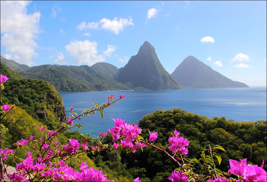
The Blue Mountains (maximum elevation 7388 feet), which begin near the cast end of the island and parallel the northeast coast for about a third of its length, are the worn-down core of an ancient range, once much more extensive. Over the western two-thirds of the island and partly encircling the Blue Mountains is a plateau of white limestone arching gently down north and south to the sea. Another ancient core brought to light by erosion of this plateau forms several small chains (maximum elevation 3165 feet) with deeply cut flanks that parallel the axis of the Blue Mountains.
From the sea the island appears to be ruggedly mountainous, but its most characteristic feature is the karst forms produced by the action of tropical rain on the highly soluble limestone of the plateau — sinks enclosed by steep walls and separated by roughly serrated ridges, deep canyons through which flow abundant streams, and subterranean water courses.
The larger sinks form great basin-shaped valleys. Some of these have no outlets or only subterranean drainage; others are drained to the sea by streams that have broken through their walls; and still others merge with the coastal plains. Protected by their walls, with copious streams for irrigation and for turning mill wheels in the days before steam was used, these large valleys and a number of the smaller ones are ideal for tropical and subtropical agriculture, and in them are found the plantations and the greatest densities of population.
Most of the rivers are not navigable, but several on the south side (Black, Salt, and Cabaritta, the most important) are navigable for barges for some distance ( Black River for 30 miles) and are much used for bringing produce down to the sea. Living coral surrounds the western part of the island in an almost uninterrupted band, and coral heads covered with mangrove occur in Montego Bay and some of the bays at the southeast end of the island.
Because of its varied topography, Jamaica has a variety of climates, but they are generally agreeable and healthful. At Kingston, in one of the hottest and driest parts of the island, the mean annual temperature is 78.7° F., with the mean temperature for the hottest month (July) 81.4° F. and for the coolest month (February) 75.7° F. The more densely inhabited areas lie mostly between 1000 and 3000 feet, where the mean annual temperature varies between 75.7° F. and 68.7° F., according to the elevation.
The south side of the island receives less rain than the north side, the driest sections being those shut off by the Blue Mountains from the northeasterly winds (annual mean at Kingston, 32.6 inches). On the plateau the rainfall is much higher, reaching 100 inches on the summit of the limestone plateau and 208 inches at Moore Town on the northeast side of the Blue Mountains.
Heavy morning mists are characteristic of many of the interior valleys, making them particularly favorable for sugar cane and bananas. The rainy season is from May to October, and, although there is no record of a completely rainless month, the recorded rainfall for the island has fallen as low as .48 inches in February, the driest month.