The lower slopes of Grenada on the east and south, as well as many of the delta plains on both sides of the island, are cultivated. Many hillsides are occupied with groves of cacao trees; bananas and coconut palms are also common.
A good road encircles the island; it lies at a moderate distance inland along much of the southern and eastern coast, in order to pass back of the heads of the bays; it cuts off the northwestern corner of the island by crossing over a col between a northern and a western valley. In descending the latter one finds the only steep grades of the whole circuit. Along the west coast the road sometimes follows a cliff base, where niches are cut for it in occasional rocky salients; it sometimes crosses a cliff face at half height; and sometimes it passes over a ridge crest a little back of its terminal cliff.
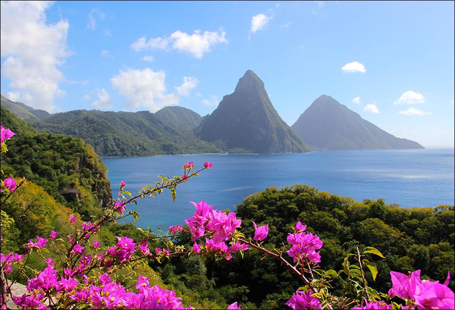
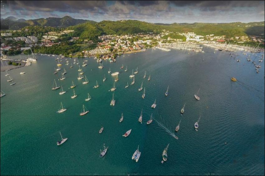
The chief town, St. George’s, well south on the west coast, is built on a peninsula which, advancing to the southwest, is crowned with an old fort. The town on one side faces a small bay enclosed by the peninsula, and on the other the open sea. The view over the bay and town from Government House, which stands well up on the hills to the east, is exceptionally beautiful.
Granville is a delta-front town in an open valley on the mid-east coast; coral reefs obstruct its harbor. Sauteurs crowns a cliffed spur end at the northeast turn of the coast and enjoys a fine view of the nearer Grenadines; a delta plain occupies an open valley close to the west. Victoria and Goyère occupy delta fronts on the west coast between high ridges with cliffed ends.


